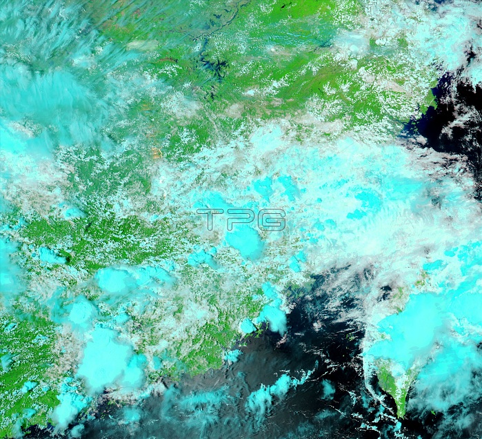
Three days of heavy rain caused widespread flooding across China's Jiangxi Province in early June 2007. The floods destroyed about 2,000 houses, and caused an economic loss of approximately $13 million. The Moderate Resolution Imaging Spectroradiometer (MODIS) on NASA's Aqua satellite captured this image of flooding around Payang Lake, a reservoir in northern Jiangxi, on June 6, 2007. Compared to conditions a few weeks earlier, on May 19 (see image_ ), the reservoir is swollen and its shores have been pushed out by several kilometres. Both images were made with a combination of infrared and visible light, which makes water appear black or dark blue. Plant-covered land is bright green, bare earth is tan, and clouds are light blue and white.
| px | px | dpi | = | cm | x | cm | = | MB |
Details
Creative#:
TOP22309834
Source:
達志影像
Authorization Type:
RM
Release Information:
須由TPG 完整授權
Model Release:
No
Property Release:
No
Right to Privacy:
No
Same folder images:

 Loading