
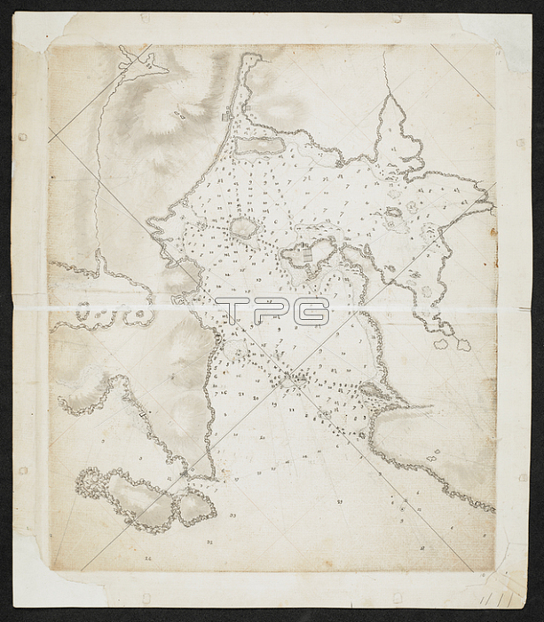
Chart of coastlines and islands.c. 1760-1780.From: Captain James Cook; SIXTY-SEVEN Charts and maps illustrating the voyages and surveys of Capt. James Cook; R.N. and other discoverers; circ. 1760- 1780.Add. 31360; no. 18London; British Library.
| px | px | dpi | = | cm | x | cm | = | MB |
Details
Creative#:
TOP20498096
Source:
達志影像
Authorization Type:
RM
Release Information:
須由TPG 完整授權
Model Release:
No
Property Release:
No
Right to Privacy:
No
Same folder images:
Restriction:
Additional permissions needed for non-editorial use.
 Loading