
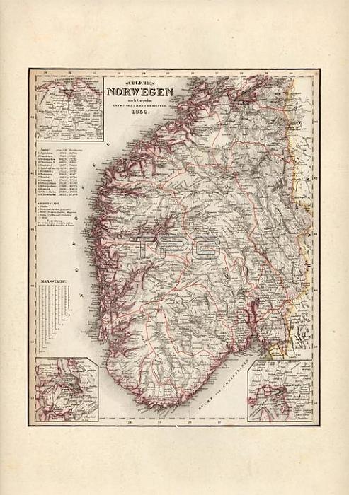
Map of South Norway; 1850 from:Meyer's Gro遝r Hand-Atlas 黚er alle Theile der Erde; published from 1843 -1860 in Hildburghausen bei Verlag des Bibliografischen Instituts.
| px | px | dpi | = | cm | x | cm | = | MB |
Details
Creative#:
TOP17859516
Source:
達志影像
Authorization Type:
RM
Release Information:
須由TPG 完整授權
Model Release:
No
Property Release:
No
Right to Privacy:
No
Same folder images:
 Loading