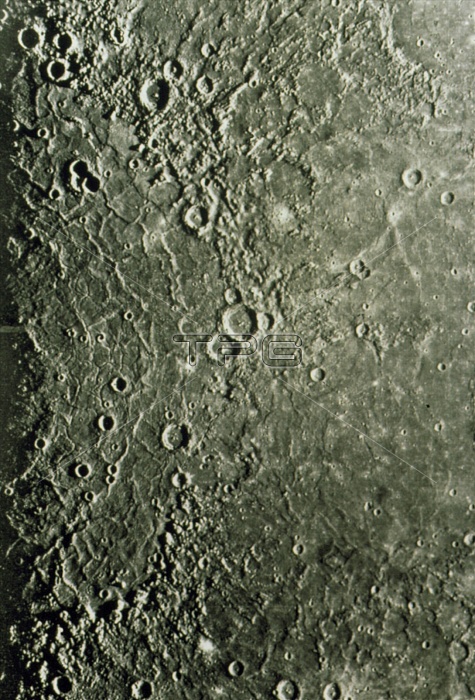
The Caloris Planitia region of Mercury, a mosaic of visible light images made by the Mariner 10 spacecraft during its study of the planet in 1974- 5. About half of Caloris Planitia may be seen here, the smooth area at left surrounded by a semi-circular ring of the Caloris Montes mountains and several impact craters. The largest of these craters (top of the pair located just above centre frame) is called March. In the bottom right is another smooth plain, Odin Planitia. Caloris Planitia is itself the remnant of a vast impact crater. The event which formed Caloris Planitia also created mountains on the opposite side of Mercury due to focusing of seismic waves.
| px | px | dpi | = | cm | x | cm | = | MB |
Details
Creative#:
TOP10237455
Source:
達志影像
Authorization Type:
RM
Release Information:
須由TPG 完整授權
Model Release:
N/A
Property Release:
N/A
Right to Privacy:
No
Same folder images:

 Loading